


Course of the circular hiking trail
The short tour of the circular hiking trail W11 starts at the hiking car park "Angelbecksteich" and leads north on the barrier-free circular trail around the pond. Numerous information boards provide information about the fauna and flora of the heath. Continue south through the heath to the memorial stone to the wildfire catastophe. At a forest path the path turns right and leads back to the starting point.
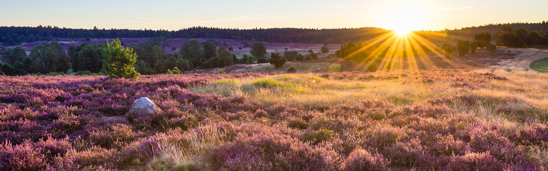
Barrier-free circular hiking trail
The approximately 1 kilometre long barrier-free hiking trail opens up the heath area at the Angelbecksteich and the banks of the pond on safe and well-surfaced paths. This path is also very easy to follow with wheelchairs, rollators and prams. Children have a lot of fun on this hiking trail because of the small nature experiences to the right and left of the trail. Numerous places to sit and a pavilion invite you to rest and observe nature. A guidance system made of wooden beams ensures that no one gets off the path unintentionally. Numerous information boards, which can also be read by the blind, provide valuable information on the animal and plant world as well as on the origin and protection of the heath landscape.
The circular route begins at the "Angelbecksteich" car park, where there is also a disabled WC (from Whitsun to October).
Stations
- At the first station (A1) the Robber Shrike and the Wood Lark are presented as typical bird species of the heath landscape.
- The next information board (i1) explains how the heath is cared for and preserved today by burning, plagging and mowing. In addition, the fire catastrophe of 1975 is reported.
- The theme of the next station (i2) is how the historical heath farmer economy favoured the development of heath landscapes.
Another species table (A2) introduces the juniper and explains the benefits of this conifer for humans and animals.
Locusts are also typical inhabitants of the heath and can be distinguished by their species-specific chirping, Station (A3).
A bridge crosses the Angelbach and leads to the next species board (A4). The brook and pond provide habitats for dragonflies. The two-striped spring dragonfly and the common heath dragonfly are presented here in more detail.
We continue along the pond to the next species table (A5), which describes the grass snake as a water-loving species and the adder as a typical inhabitant of the heath area.
The next station (i3) informs about the history of the hilly landscape formed by the glaciers of the Ice Ages.
Two interesting plant species are presented on the next species table with the rare club lycopod and the sundew (A6).
The next station (i4) will focus on the significance of the heather snail for the conservation of the heath and the benefits it has always had for humans. The bees are also at home in the heath and provide the aromatic heather honey.
The last species table (A7) presents two lizard species. The Sand Lizard and the Forest Lizard are native reptiles that can be seen along the way with a little luck.
Point of departure
Three hiking tours of different lengths are offered from the "Angelbecks Teich" hiking car park.
How to get to „Angelbecks Teich”
The car park at Angelbecks Teich can be reached via L 281
from Oldendorf in the direction of Eschede. After approx. 3 km from Oldendorf
from there turn right in the direction of Dehningshof/Hof Severloh. After
After another 200 m, the path turns left onto the parking lot.
Position: N 52° 47.31040', E 010° 07.55486', N 52° 47.31040
Further information and tips on the tours of the hiking paradise Südheide can also be found in the Region Celle Navigator.