


The hike W7 "Gauss'sche measuring points in the South Heath mountains" follows the traces of the famous Göttingen mathematician and land measurer Johann Carl Friedrich Gauss, who used the hills of the South Heath for his surveying work in the 19th century and whose achievements are commemorated by two memorial stones.
Mountains in Südheide?
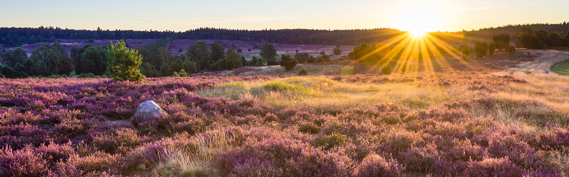
In the partly quite hilly landscape we find heights of over one hundred meters, so that partly the impression arises that the tour would lead through a low mountain range. Prominent hills are the Hesterberg, the Hausselberg and the Süllberg. These are sediment masses of sand and rock, so-called end moraines, piled up by the glaciers of the glacial period.
The hike opens up the extensive forests of the Lüß. The Lüßwald is a forest area of about 8,000 hectares near Unterlüß. Occasionally heath areas are sprinkled as part of the nature reserve "Heideflächen mittleres Lüßplateau".
The Gaussian Measurement work
In 1820 King George IV instructed the mathematician Johann Carl Friedrich Gauss to map the Kingdom of Hanover. At that time Gauss was professor of astronomy and director of the observatory at the University of Göttingen. For his work, the mathematician used the prominent and well-visible hills of the southern heath, for example the summit of the 118 m high Hausselberg. It was one of three triangular points, to which Falkenberg near Wardböhmen (150 m above sea level) and Wilseder Berg to the north (169 m above sea level) belonged.
Another triangle was formed by the Hausselberg with the Falkenberg and the Breithorn (117 m above sea level). The two Gauss stones were made as memorial stones at the height of the Breithorn and on the Hausselberg, both are starting points of the hike.
In order to be able to carry out measuring work on the elevation points at all and to be able to locate them among each other, it was necessary to have a clear view between the points. With today's woodland, this work would not have been possible at all. Instead of the forest, heather vegetation still dominated in Gauss times. However, in some cases, even at that time, visual corridors had to be cut into existing forests for measuring purposes.
Gauss a guest in the South Heath
During the measuring work on the Hausselberg Gauss lived for ten days on the farm von der Ohe in the small village Oberohe northeast of his place of work. In a letter to his friend Dr. Olbers he reports on the simple living conditions of the rural population of that time:
"...There lived a family whose head Peter Hinrich von der Ohe, whose property is perhaps a square mile in size, but whose children have to take care of the pigs. Some comforts are totally unknown there, such as a mirror, a toilet or something similar".
As a professor at Göttingen University, Gauss was certainly accustomed to a different standard of living. The many years of measuring work in the province obviously demanded some sacrifices of him.
The Legacy of the Ice Age
The hilly landscape near Unterlüß, whose peaks reach heights of more than one hundred metres above sea level, is a product of the second-last ice age, the Saale Ice Age. It is associated with the period between 300,000 and 130,000 years before present-day.
In addition, northern Germany was influenced by two other ice ages, the older Elster Ice Age and the more recent Weichsel Ice Age. However, the glaciers of the last glacial period did not reach the southern heath. Thus the glaciers of the Saale Ice Age in particular formed the hills. They are part of a so-called end moraine formation, which also includes the Falkenberg near Wardböhmen.
Sand and gravels were deposited as debris in front of the glaciers and, as high moraine chains, mark a certain stage of the glacier advances originating in Scandinavia. The Saale, a tributary of the Elbe, was the inspiration for the name of the Ice Age. The maximum amount of ice reached as far as this river.
The most important facts of the tour in a few words
- Memorial stones to Johann Carl Friedrich Gauss
- hilly landscape with views from afar
- extensive heath areas