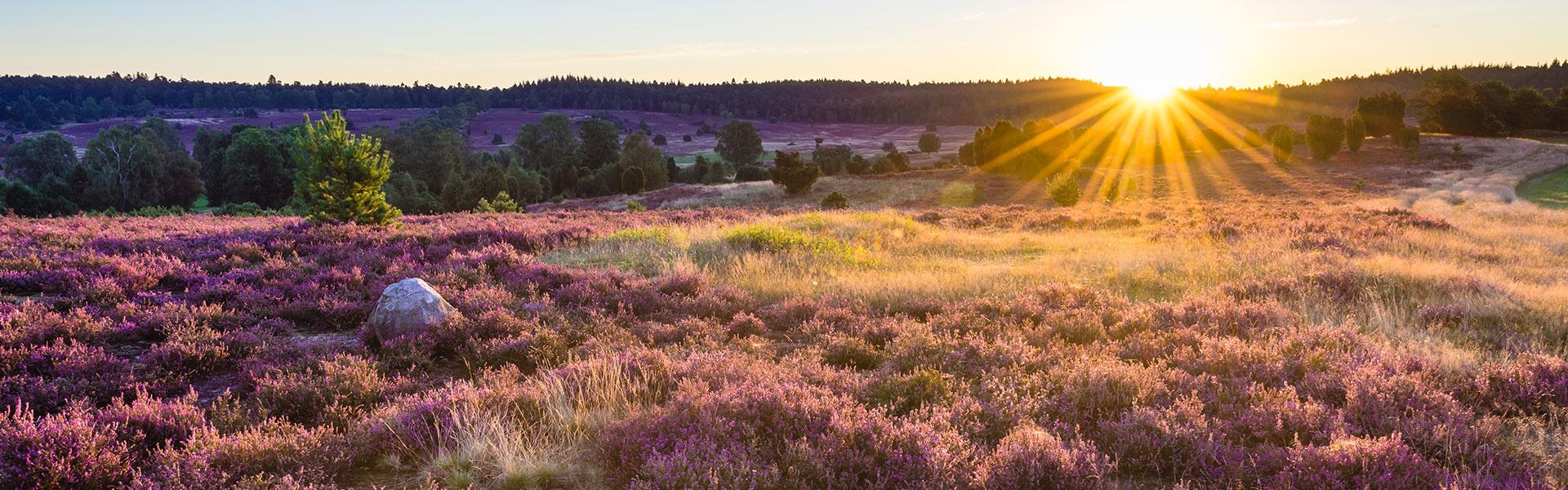


The route is hardly long enough to include so many viewpoints. You should take a full day for this walk - not necessarily because of the 13 kilometres distance, but because of the many spectacular vantage points - far more than just the "official" spots at Suhorn, Wümmeberg, and Tütsberg Manor.
It is difficult to find a hiking trail that does more to open your eyes and your heart to the wide-open spaces of the landscape.
The 13-kilometre hike starts at the visitor’s car park in Oberhaverbeck. An information board that shows the route is located here: the hike is marked with the symbol "O2". The signposts take you in one direction only, which is the direction that has the most beautiful viewpoints.
Suhorn viewpoint:
Right at the beginning of the hike, a very special vista awaits from Suhorn, looking into Wümmegrund - the headwaters of the Wümme River. A small bench next to the Alfred Töpfer memorial invites the hiker to take a rest.
Wümmeberg viewpoint:
After a few kilometres, you arrive at a second beautiful viewpoint: Wümmeberg. From here, there is a view of the headwaters of the Wümme River and also of the “Suhorn” ridge.